The History Inside York Museum Gardens
Roman defences, abbey remains and a nineteenth-century botanical scheme explain how York Museum Gardens took shape.
Published
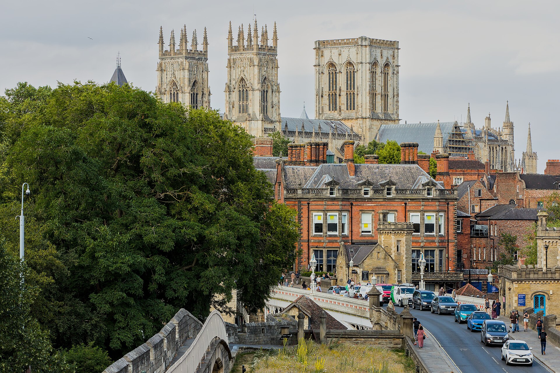

York Museum Gardens brings together remains from different periods, but their arrangement also tells a story. The Yorkshire Philosophical Society established the gardens around its new museum in the nineteenth century. A later design deliberately organised views of the buildings and antiquities. Understanding that design helps explain why a ruined abbey, Roman defences and botanical planting occupy the same grounds.[1][2]
Roman Defences Within An Abbey Site
The Multangular Tower connects the gardens to Eboracum, Roman York. Historic England’s garden record identifies it as the western angle tower of the Roman fortress wall. Its description also distinguishes the Roman structure from its medieval upper levels. Looking at the tower as a building altered across periods gives a fuller account than assigning the whole structure a single age.[2]
The gardens also occupy part of the precinct of St Mary’s Abbey. Benedictine monks were granted the church of St Olave in 1086, and a new abbey developed on neighbouring land in the following years. The abbey was dissolved in 1539, although substantial remains survived. These two histories overlap within the garden boundaries, so the grounds contain evidence of successive uses of the same part of York.[2]
A Museum With A Botanical Condition
The Yorkshire Philosophical Society acquired land here for a museum to house its collections. York Museums Trust, which manages the gardens, records that the Yorkshire Museum opened in 1830 and was among the country’s first purpose-built museums. Establishing botanical gardens was a condition attached to the land.[1]
That condition makes the planting part of the site’s founding purpose. The museum and garden developed together as places for collections. Historic England records the planting of hardy herbaceous perennials during the 1820s to 1840s, alongside further land purchases intended to acquire and protect antiquities. Plants and archaeological remains both helped shape the growing grounds.[1][2]
How The Paths Frame The Ruins
The garden’s arrangement became a design problem of its own. In 1844, Sir John Murray Naesmyth was asked to draw up a scheme that would bring greater unity to the existing layout. His task included making the varied architectural remains work together visually, opening worthwhile distant views and screening less suitable surroundings.[2]
For someone interested in the gardens’ history, the relationship between a path and a building deserves attention alongside the building itself. Historic England describes a circuit linking the museum approach, abbey ruins and Hospitium. The route was substantially represented on an 1847 plan, although changes had appeared on its eastern side by 1852.[2]
The circuit was designed to present changing views of the grounds and antiquities. This gives you a useful way to read the garden: consider what comes into view as the path changes direction, and how planting frames a structure. There is an unresolved complication, though. Historic England’s account notes that mature trees and newer planting had obscured some of the intended views. The design and its later growth have not always pulled in the same direction.[2]
The Botanical Features That Disappeared
Some of the garden’s history lies in features that were removed. The Order Beds were a geometrically arranged botanical garden shown on the 1847 plan, immediately south of the Hospitium. They were grassed over in the mid twentieth century. Historic England also records a later flood-defence bank crossing that area.[2]
Glasshouses were another substantial part of the earlier grounds. One shown on the 1847 plan was demolished in the mid twentieth century. A second, farther south and shown on the 1892 Ordnance Survey map, was demolished in the 1960s. The earlier garden therefore included structures and formal growing areas that cannot be understood from its lawns alone.[2]
The Hospitium Has Its Own Later Layers
The Hospitium offers a reminder to keep uncertainty attached to a building’s history. Historic England describes it as probably dating from the fourteenth and fifteenth centuries and probably serving as an abbey guesthouse. Those qualifications matter. Its original date and function are less definite than the later work recorded on it.[2]
Restoration took place between 1838 and 1848, and a new roof followed in the 1930s. When you look at the building, leave room for those later interventions alongside its medieval origins. The nineteenth-century garden was taking shape around a structure that was itself being repaired and changed.[2]
Sources and checks
These sources were used for this article. Availability, prices and service details can change after the stated check date.
- History of the Gardens | York Museum Gardens
Checked 20 October 2026.
The Yorkshire Philosophical Society established the gardens in the 1830s. The Society acquired land for a museum to house its collections. The Yorkshire Museum opened in 1830 and was among the country’s first purpose-built museums. Establishing botanical gardens was a condition attached to the land. York Museums Trust manages the gardens.
- Museum Gardens, York, Non Civil Parish - 1000117 | Historic England
Checked 20 October 2026.
The Multangular Tower was the western angle tower of the Roman fortress wall at Eboracum. The gardens occupy part of the precinct of St Mary’s Abbey. Benedictine monks received St Olave’s church in 1086, with a new abbey subsequently built nearby. The abbey was dissolved in 1539 and substantial remains survived. Further land purchases sought to acquire and protect antiquities. Hardy herbaceous perennials were planted during the 1820s to 1840s. The Multangular Tower combines Roman fabric with medieval upper levels. Sir John Murray Naesmyth was commissioned to prepare a unifying garden scheme in 1844. The design sought to relate architectural features, open distant views and screen unsuitable surroundings. The scheme provided a setting for the museum and ancient monuments while incorporating a botanical garden. The recorded circuit connects the Hospitium area with the museum approach. The route substantially follows the 1847 plan, with eastern alterations recorded by 1852. The walk was designed to offer changing views of buildings and antiquities. Planting was used to control views of buildings and ruins from the paths. Historic England records that mature trees and newer planting had obscured some views. The Order Beds were a geometrically arranged botanical garden south of the Hospitium, shown on the 1847 plan. The Order Beds were grassed over in the mid twentieth century. A late twentieth-century flood-defence bank crossed their former area. A glasshouse shown on the 1847 plan was demolished in the mid twentieth century. A second glasshouse farther south appeared on the 1892 Ordnance Survey map and was demolished in the 1960s. The recorded circuit runs beside the abbey ruins and continues towards the Hospitium. The Hospitium probably dates from the fourteenth and fifteenth centuries and probably served as an abbey guesthouse. The Hospitium was restored between 1838 and 1848 and received a new roof in the 1930s.