York Historic Streets: How the Medieval Pattern Survives
Read York’s historic centre through its street alignments, narrow plots and side passages, then distinguish those inherited routes from later changes.
Published
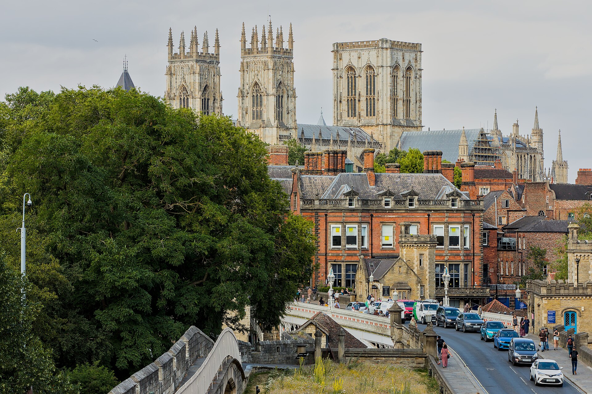

York’s medieval street pattern survives in the routes between buildings and the shapes of the plots behind them. City of York Council’s 2011 Heritage Topic Paper identifies a street network established by the 12th century, with buildings repeatedly rebuilt within its blocks. To recognise that inheritance, look beyond individual façades to the relationship between streets, passages and yards.[1]
What Has Actually Survived?
A street’s history has several parts. Its alignment is the course it follows. Its building plots divide the land alongside it. The structures occupying those plots can change while the underlying divisions remain. York’s appraisal describes precisely this combination: an inherited network separating blocks of medieval tenements that have been built on and rebuilt over centuries.[1]
That distinction helps explain why a historic street can contain buildings of different ages without losing its older shape. The council identifies long, narrow plots on Stonegate and Coney Street, with side passages serving former workshops and gardens. Those divisions allowed successive occupants to reuse the land. A newer frontage alone tells you little about the age of the arrangement behind it.[1]
The medieval network also incorporates earlier influences. The appraisal describes it as overlaying Roman roads. Treating the centre as a single surviving medieval design would flatten a much longer history of adaptation.[1]
Read the Blocks Around Coney Street and Goodramgate
On Coney Street, the useful relationship is between the main street and the narrow plots extending behind its buildings. Compare the width of a frontage with any side passage beside it. The appraisal links these passages to the working spaces and gardens behind the street, giving you a reason to examine the gaps as carefully as the shopfronts.[1]
Stonegate offers another example of the same plot structure. Around Stonegate, Low Petergate and Church Street, the council describes blocks with taller buildings facing the street and smaller extensions, structures and private yards within. From the street, you see the enclosing edge of a much more complicated interior.[1]
For Goodramgate, shift your attention to the street network itself. The appraisal groups it with Micklegate, St Martin’s Lane, Coney Street and Coffee Yard as examples of surviving medieval routes. Its description includes gently curving streets and secondary lanes threading through blocks or reaching more private spaces. Follow how a route bends and where smaller openings interrupt the building line.[1]
Micklegate provides a comparison on the other side of the Ouse. The appraisal identifies medieval networks both north and south of the river, so this way of reading York extends beyond the cluster of streets around Stonegate. Compare the main street’s enclosure with the smaller routes associated with it, including St Martin’s Lane.[1]
Where Later Streets Changed the Pattern
York’s inherited layout contains substantial later interventions. The council singles out St Leonard’s Place and Parliament Street as 19th-century highway improvements, alongside later streets including Clifford’s Street and Piccadilly. These belong in any explanation of the centre’s shape.[1]
Use those names when comparing a map with the streets around you. Trace a named later intervention, then examine how it meets the surrounding blocks. This gives you a more useful question than whether an entire street looks old: which part of the arrangement was retained, and which part was changed?[1]
Museum Gardens Offers a Different Kind of Historic Route
Museum Gardens provides a useful check on assumptions about winding paths. Historic England, the national heritage body, records that the main circuit remains substantially as shown on an 1847 plan. Here, a curved route belongs to a designed garden scheme, with some alteration already evident on the eastern side by 1852.[2]
The recorded circuit leads east from the Hospitium, joins Old Cross Path and curves north-east uphill towards the approach to the museum forecourt. Historic England explains that the walk was designed to reveal changing views of buildings, antiquities and the grounds. Its bends have a documented purpose that differs from the inherited street and plot relationships elsewhere in the centre.[2]
An old-looking route still needs an individual explanation. The council’s broad account cannot date every narrow passage, and the garden record shows how easily different periods can sit close together. On your next walk through York, choose one block and follow its edges on a map, then look for the passages, changing frontages and later junctions that complicate that outline.[1][2]
Sources and checks
These sources were used for this article. Availability, prices and service details can change after the stated check date.
- https://democracy.york.gov.uk/documents/s47296/Annex%20D%20Heritage%20Appraisal.pdf
Checked 20 October 2026.
The council’s January 2011 appraisal identifies a medieval street pattern in place by the 12th century, incorporating Roman road influences. Buildings within medieval tenement blocks have been built and rebuilt over centuries. Stonegate and Coney Street retain long, narrow plots and side passages associated with former workshops and gardens. The Stonegate, Low Petergate and Church Street area exemplifies enclosed blocks with taller street-facing buildings and smaller structures and yards behind. The appraisal identifies Micklegate, St Martin’s Lane, Goodramgate, Coney Street and Coffee Yard within surviving medieval networks on both sides of the river. St Leonard’s Place and Parliament Street are identified as 19th-century highway improvements, with Clifford’s Street and Piccadilly among later streets.
- Museum Gardens, York, Non Civil Parish - 1000117 | Historic England
Checked 20 October 2026.
Museum Gardens’ main circuit follows substantially the route shown on the 1847 plan. Some eastern realignment had occurred by 1852. The recorded circuit connects the Hospitium, Old Cross Path and the approach to the museum forecourt. The garden walk was deliberately designed to offer changing views, providing a documented later comparison with York’s inherited street network.