York Rivers Explained: The Ouse, Foss and the City Around Them
Where York’s rivers meet, why they respond differently to rain, and what the Foss Barrier means for the city’s waterways.
Published
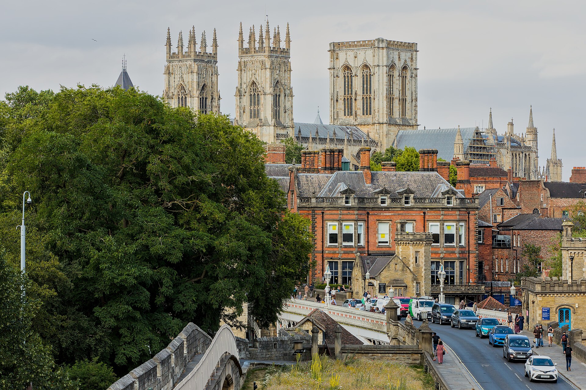

The River Foss joins the River Ouse at Blue Bridge in York. That meeting helps explain more than the city’s geography. High water in the Ouse can push back into the Foss, linking conditions on the two rivers even though their catchments respond differently to rainfall. Understanding that relationship makes sense of the Foss Barrier, while the separate arrangements for river management explain who to contact about using each waterway.[1][2][3]
Blue Bridge Is Where the Foss Meets the Ouse
City of York Council, the local authority, places the source of the Foss at a spring beside Oulston Reservoir near Newburgh Priory, north of Easingwold. The spring flows into the reservoir. From there, the river runs for 31 kilometres to its meeting with the Ouse at Blue Bridge.[2]
That meeting is a confluence. The Foss is a tributary, meaning a river that feeds another river. Blue Bridge gives you a useful geographical reference point: it marks the end of the Foss’s course and the place where its water enters the Ouse.[2][3]
Why Rain Affects the Two Rivers Differently
A catchment is the area from which rainfall drains into a river. The Environment Agency’s historical explanation of York’s flood defences describes the Foss catchment as highly urbanised and quick to respond to heavy rainfall. It describes the Ouse catchment as more rural, receiving heavy rainfall from the Pennines, and potentially slower to rise.[3]
The distinction matters because the Foss also responds to conditions at its downstream end. Historically, a rising Ouse could force water back up the Foss until it overtopped its banks and flooded surrounding properties. Rainfall within the Foss catchment and high water in the Ouse are separate pressures that can affect the same river.[3]
Those descriptions explain a relationship, rather than providing a timetable. A potentially slower response on the Ouse gives no reliable prediction of conditions beside either river on a particular day.[3]
The Foss Barrier Controls Backflow, With Pumps Moving Water Out
The Foss Barrier’s purpose is to prevent high water in the Ouse from entering the Foss. In the Environment Agency’s historical technical account, the gate is held above the river during normal operation, allowing boats underneath. When lowered, it seals against the river bed to stop water backing up from the Ouse.[3]
Closing that connection creates another problem. Water arriving down the Foss can no longer discharge directly into the Ouse. Pumps must transfer it around the closed barrier and into the Ouse so it does not accumulate behind the gate.[3]
The gate and pumps therefore work together. The barrier addresses water pushing into the Foss, while pumping provides an outlet for water coming down it. This explains the engineering principle. The historical account does not establish today’s gate position, equipment condition or remaining capacity during a flood.[3]
Who Handles Navigation Queries?
Responsibility depends on the river. The council directs Ouse navigation enquiries to the Canal & River Trust. For the Foss, the council identifies itself as the navigation authority, with its Asset and Property Management Team handling navigation consents, queries and concerns.[1][2]
For boaters, the Foss has specific constraints. Council guidance describes only two kilometres upstream of Castle Mills Lock as navigable and warns of very limited turning opportunities beyond Rowntree Wharf. Passage through the lock requires arrangements, with charges and valid insurance documents specified. Check the council’s current navigation notices before organising a journey.[1][2]
Riverside Walks Depend on Conditions
Foss Walk follows much of the river’s course from Blue Bridge towards Oulston Reservoir and continues to Easingwold. The council describes the full walking route as 45 kilometres, longer than the river itself. That named route is a useful starting point for planning, but the description does not establish continuous access along every riverbank.[2]
Around the Ouse, familiar riverside places can become unusable when water is high. The council names Dame Judi Dench Walk, King’s Staith, Queen’s Staith, Tower Gardens, New Walk, Terry Avenue and Rowntree Park among the affected paths and parks.[1]
Receding water can leave a further obstacle. Once levels fall and renewed flooding is not thought imminent, the council clears silt, mud and debris from riverside footpaths and cycle paths, a process it calls warping. Before setting out beside York’s rivers, consult live official flood warnings and the council’s flooding information. Neither a description of the barrier nor a falling river level confirms that a particular path is usable.[1][3]
Sources and checks
These sources were used for this article. Availability, prices and service details can change after the stated check date.
- Rivers in York – City of York Council
Checked 20 October 2026.
The council directs River Ouse navigation enquiries to the Canal & River Trust and provides current navigation notices. The named riverside paths and parks regularly become unusable at high river levels. Warping means clearing silt, mud and debris after levels recede and renewed flooding is not thought imminent. The council provides information about flooding in York.
- The River Foss – City of York Council
Checked 20 October 2026.
The Foss begins at a spring beside Oulston Reservoir near Newburgh Priory, north of Easingwold. The Foss runs for 31 kilometres to its confluence with the Ouse at Blue Bridge. Foss Walk follows much of the river and continues to Easingwold, with a stated route length of 45 kilometres. City of York Council is the Foss navigation authority and directs relevant enquiries to Asset and Property Management. Council guidance specifies two navigable kilometres upstream of Castle Mills Lock and limited turning beyond Rowntree Wharf. Castle Mills Lock passage requires arrangements, charges and valid insurance documents.
- The Foss Barrier: reducing the risk of flooding - GOV.UK
Checked 20 October 2026.
The historical Environment Agency account contrasts the Foss’s urban catchment and quick rainfall response with the Ouse’s rural catchment and potentially slower response to Pennine rainfall. High Ouse levels historically forced water back up the Foss, causing flooding. The Foss Barrier’s primary purpose is to prevent high Ouse water entering the Foss. The historical account describes an overhead gate that lowers to seal against the river bed. When the barrier is closed, pumps transfer Foss water around it into the Ouse. The account explains historical engineering principles rather than live river conditions or equipment status.